McLean's Park - Manitowaning

Park Size: 40.5 hectare
Park Amenities:
McLean's Park is an activity destination popular for mountain biking and hiking located south of the village of Manitowaning on the western side of Manitoulin Island, Ontario, Canada. The island of Manitoulin is part of Rainbow Country in Northeastern Ontario.
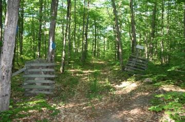
McLean's Park is a 40.5 hectare (100 acre) park consisting of old gravel logging roads and single-track dirt trails. Many of which explore a forest of trees providing much shade and protection from the sun.
The trails are labelled as wilderness forest trails meaning they are maintained, mostly, by nature. The forest is old... with many trees standing large showcasing various different types of species.
McLean's Park was donated on August 29th, 1989 by Donald E. McLean in loving memory of Donald McLean Sr. and Sarah McKechnie McLean. Underneath the dedication posted on a large boulder it reads, "For the Preservation of Nature."
There are two main trails in McLean's Park. The "Old Walking Trail" measures 1.5 kilometres long. It is a one-way hiking path exploring - what is called - the "Slick Bush". The trail connects up with the main trail.
The main trail - identified by blue tree markers - measures 7 kilometres long. There are many twists and corners on the route. The trail is open to hikers and mountain bikers. However, it is mostly enjoyed by mountain biking groups.
The main trail is a loop route which explores a small section called the "Slick Bush", as well as, the mountain biking sections called the "Razor Back" and the "Stone Throw".
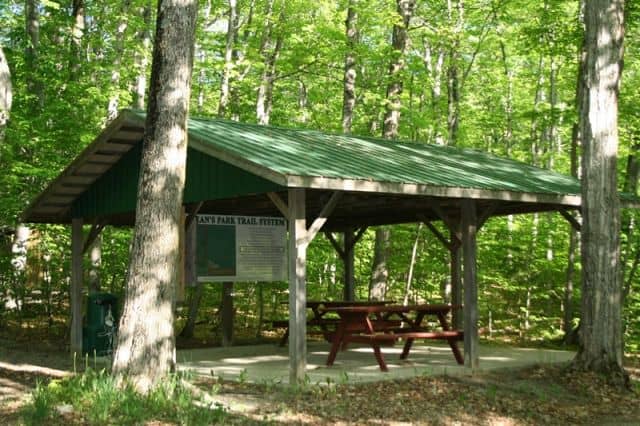
Near the trailhead is a picnic shelter, pit toilets and a trail map.
Explore McLean's Park, Manitowaning, Manitoulin Island, Ontario, Canada
Address:
How To Get ToMcLean's Park - Manitowaning
:Water : Board the vehicle ferry in Tobermory on the Bruce Peninsula on the south shore of Lake Huron and enjoy a 1.5 to 2 hour cruise on the Chi-Cheemaun Ferry connecting Tobermory with South Baymouth, Manitoulin Island.


