Bridge to Bridge Trail

Trail Length: 12 kilometres
Park Amenities:
Bridge to Bridge Trail is an activity destination and recreation pathway located in the community of Timmins, Ontario, Canada. Timmins is located in the Wilderness Region in northeastern Ontario.
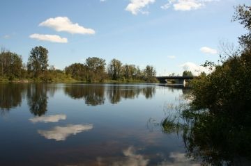
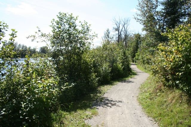
The Bridge to Bridge Trail is an easy-going, single-track route following, mostly, gravel and paved paths along the banks of the Mattagami River.
The popular loop trail measures 12 kilometres in total. Shorter one-way hikes from the Mattagami Bridge to Lafleur Bridge is 6 kms.
The trail route begins near the Mattagami Park in Timmins, Ontario and continues along Norman Street and concludes near the Lafleur Bridge. A combination of side streets and pathways provide a loop route exploring both sides of the river.
There are many access points to the trail. The best access point for the Bridge to Bridge Trail is in Mattagami Park which provides two large parking lots. The park is the south terminus and Lafleur Bridge is the north terminus.
The level trail explores grass lawns, open areas and forest groves. Along the recreation route are picnic tables and sightseeing benches providing great views of the Mattagami River.
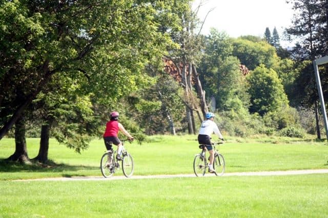
The trail is a popular route during the summer months for walking, biking, jogging, dog walking (on leash), birding, sightseeing, picnicking and baseball. There is a baseball field in the park. In the winter months the trail becomes a xc ski route for the locals.
The Bridge to Bridge Trail connects to other trail networks in Timmins. Two other trails nearby are the Waterfront Trail and the Cedar Meadows Trail.
Explore Bridge to Bridge Trail, Timmins, Ontario, Canada, Wilderness Region
Address:


